Waterway information

Kind:
Inland
Driving areas:
🇺🇸 United States of America
Length:
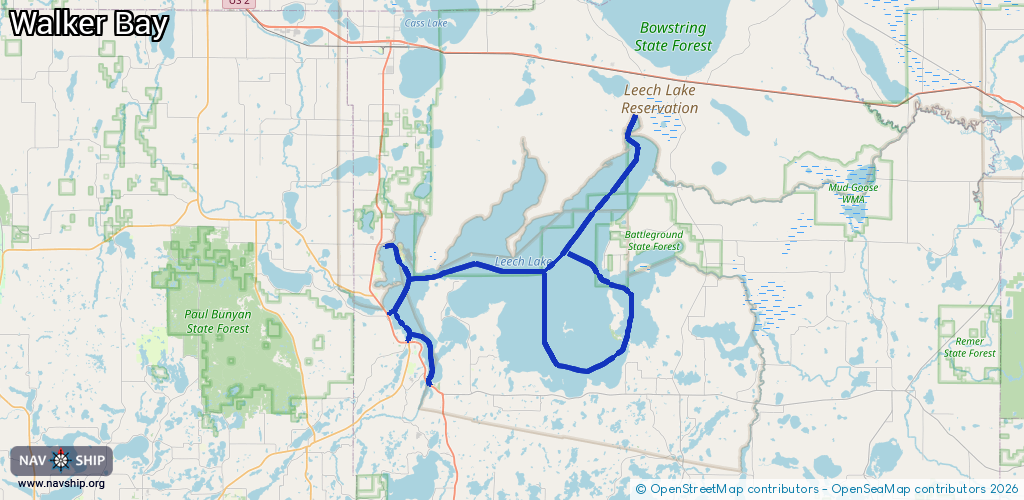
85.8 km¹
¹River kilometers or bank length recorded in NavShip, including river arms and harbor entrances.
Availability:
Completely recorded
Recent Update: 11.02.2026²
² This date indicates when an adjustment last took place in the course of the body of water
Recorded:
Locks: 0
Harbours / marinas: 5
Bridges: 0
Berths: 0
Slipways: 2
Fuelstations: 0
Route:
Please wait, loading route graphic...
Request waterway overview map with symbol legend here (Link).
Information about data associated with this body of water (7 available):
Data by OpenSeaMap (c) OSM contributors, www.openseamap.org
| # | Kind | Coordinates | Name | Information |
|---|---|---|---|---|
| 1 | Marina | 47.12864,-94.61314 | 2025-09-23T11:57:54Z | |
| 2 | Marina | 47.10441,-94.58265 | 2025-05-12T12:55:21Z | City Docks |
| 3 | Marina | 47.10365,-94.59015 | 2025-09-23T11:26:47Z | Cochran's Marina https://walker-marine.com/marina/ |
| 4 | Marina | 47.19293,-94.62052 | 2025-09-23T12:21:31Z | |
| 5 | Marina | 47.06321,-94.55805 | 2026-01-19T15:44:11Z | |
| 6 | Slipway | 47.19325,-94.62055 | Unknown | 2025-09-23T12:21:31Z |
| 7 | Slipway | 47.06309,-94.55764 | Unknown | 2026-01-19T15:44:11Z |