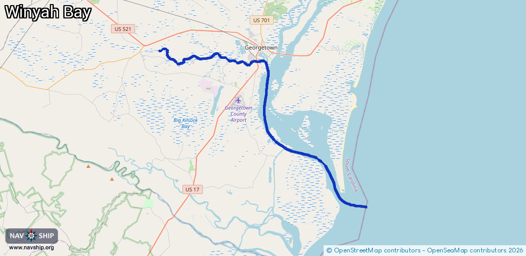
Waterway information

Kind:
Sea
Driving areas:
🌊 Atlantic Ocean🇺🇸 United States of America
Length:
42 km¹
¹River kilometers or bank length recorded in NavShip, including river arms and harbor entrances.
Availability:
Completely recorded
Recent Update: 10.04.2025²
² This date indicates when an adjustment last took place in the course of the body of water
Recorded:
Locks: 0
Harbours / marinas: 4
Bridges: 0
Berths: 0
Slipways: 1
Fuelstations: 0
Route:
Please wait, loading route graphic...
Request waterway overview map with symbol legend here (Link).
Information about data associated with this body of water (5 available):
Data by OpenSeaMap (c) OSM contributors, www.openseamap.org
| # | Kind | Coordinates | Name | Information |
|---|---|---|---|---|
| 1 | Marina | 33.30621,-79.29293 | 2022-09-02T21:29:00Z | |
| 2 | Marina | 33.36059,-79.27973 | 2022-12-27T21:00:50Z | |
| 3 | Marina | 33.35546,-79.32025 | 2022-12-30T23:34:40Z | |
| 4 | Marina | 33.35884,-79.33345 | 2022-12-30T23:44:34Z | Friendfield Marina |
| 5 | Slipway | 33.35534,-79.32066 | Unknown | 2022-12-30T23:34:40Z |