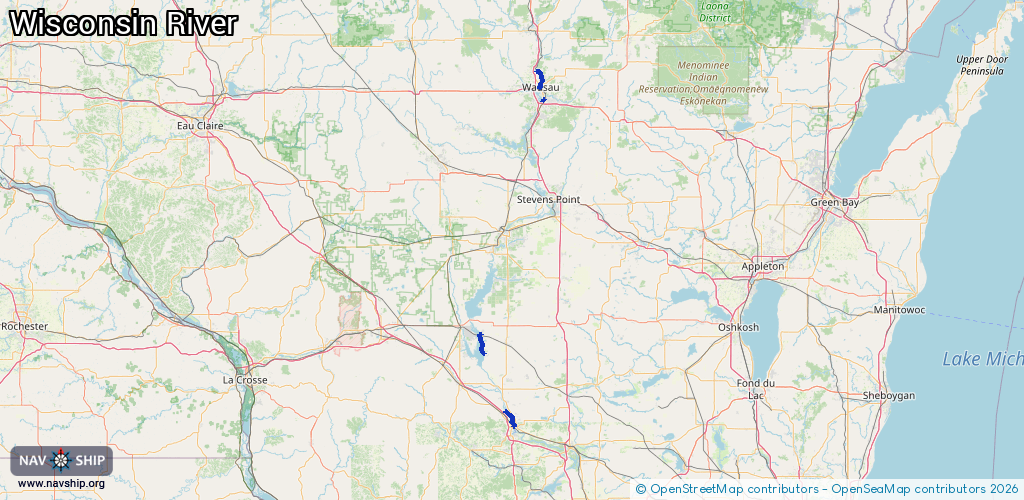
Waterway information

Kind:
Inland
Driving areas:
🇺🇸 United States of America
Length:
29.8 km¹
¹River kilometers or bank length recorded in NavShip, including river arms and harbor entrances.
Availability:
Completely recorded
Recent Update: 11.02.2026²
² This date indicates when an adjustment last took place in the course of the body of water
Recorded:
Locks: 0
Harbours / marinas: 7
Bridges: 0
Berths: 0
Slipways: 0
Fuelstations: 0
Route:
Please wait, loading route graphic...
Request waterway overview map with symbol legend here (Link).
Information about data associated with this body of water (7 available):
Data by OpenSeaMap (c) OSM contributors, www.openseamap.org
| # | Kind | Coordinates | Name | Information |
|---|---|---|---|---|
| 1 | Marina | 43.91754,-89.93693 | 2022-07-31T23:09:56Z | |
| 2 | Marina | 43.99287,-89.96011 | 2021-04-16T16:49:25Z | |
| 3 | Marina | 43.99239,-89.95782 | 2021-04-16T16:49:25Z | |
| 4 | Marina | 44.96688,-89.63131 | 2026-02-01T01:47:31Z | |
| 5 | Marina | 44.9066,-89.61841 | 2022-06-23T00:40:20Z | |
| 6 | Marina | 44.91554,-89.61348 | 2021-12-16T17:17:51Z | |
| 7 | Marina | 43.63361,-89.77435 | 2022-06-27T23:55:39Z |