Waterway information

Kind:
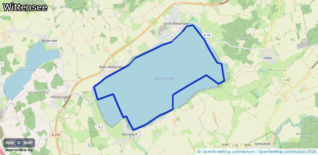
Lake
Driving areas:
🇩🇪 Germany
Length:
13.6 km¹
¹River kilometers or bank length recorded in NavShip, including river arms and harbor entrances.
Availability:
Completely recorded
Recent Update: 11.07.2023²
² This date indicates when an adjustment last took place in the course of the body of water
Recorded:
Locks: 0
Harbours / marinas: 0
Bridges: 0
Berths: 0
Slipways: 4
Fuelstations: 0
Route:
Please wait, loading route graphic...
Request waterway overview map with symbol legend here (Link).
Information about data associated with this body of water (4 available):
Data by OpenSeaMap (c) OSM contributors, www.openseamap.org
| # | Kind | Coordinates | Name | Information |
|---|---|---|---|---|
| 1 | Slipway | 54.40037,9.76727 | small_craft_facility | 2022-11-01T17:45:31Z |
| 2 | Slipway | 54.39913,9.76108 | small_craft_facility | 2022-11-01T18:08:24Z |
| 3 | Slipway | 54.38819,9.72948 | small_craft_facility | 2022-11-01T18:19:11Z |
| 4 | Slipway | 54.37139,9.74807 | small_craft_facility | 2022-11-01T18:23:32Z |