Waterway information

Kind:
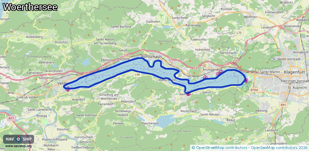
Lake
Driving areas:
🇦🇹 Austria
Length:
37 km¹
¹River kilometers or bank length recorded in NavShip, including river arms and harbor entrances.
Availability:
Completely recorded
Recent Update: 29.07.2024²
² This date indicates when an adjustment last took place in the course of the body of water
Recorded:
Locks: 0
Harbours / marinas: 6
Bridges: 0
Berths: 0
Slipways: 1
Fuelstations: 0
Route:
Please wait, loading route graphic...
Request waterway overview map with symbol legend here (Link).
Information about data associated with this body of water (7 available):
Data by OpenSeaMap (c) OSM contributors, www.openseamap.org
| # | Kind | Coordinates | Name | Information |
|---|---|---|---|---|
| 1 | Marina | 46.61043,14.04967 | 2020-07-30T18:32:24Z | Schmalzl |
| 2 | Marina | 46.60692,14.18685 | 2022-02-08T10:52:26Z | Mureny Marina |
| 3 | Marina | 46.6172,14.25246 | 2017-02-08T08:19:04Z | Loretto |
| 4 | Marina | 46.62355,14.22417 | 2020-09-26T14:26:43Z | |
| 5 | Marina | 46.62215,14.22129 | 2022-08-23T23:24:41Z | Terrassenareal |
| 6 | Marina | 46.61932,14.206 | 2022-08-23T13:03:51Z | Thomas-Koschat-Park |
| 7 | Slipway | 46.61555,14.25314 | small_craft_facility | 2017-02-08T08:19:04Z |