Waterway information

Kind:
Inland
Driving areas:
🇺🇸 United States of America
Length:
9.2 km¹
¹River kilometers or bank length recorded in NavShip, including river arms and harbor entrances.
Availability:
Completely recorded
Recent Update: 28.11.2025²
² This date indicates when an adjustment last took place in the course of the body of water
Recorded:
Locks: 0
Harbours / marinas: 0
Bridges: 0
Berths: 5
Slipways: 0
Fuelstations: 0
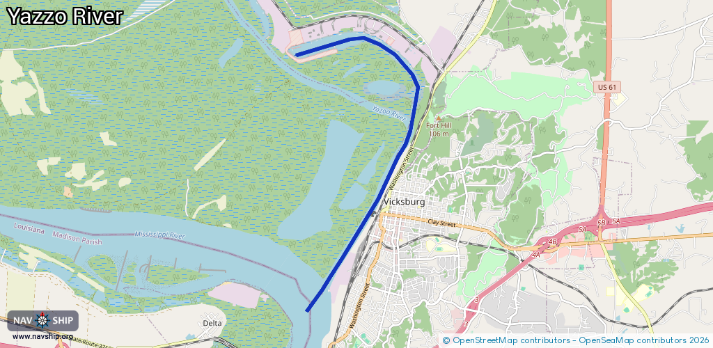
Route:
Please wait, loading route graphic...
Request waterway overview map with symbol legend here (Link).
Information about data associated with this body of water (5 available):
Data by OpenSeaMap (c) OSM contributors, www.openseamap.org
| # | Kind | Coordinates | Name | Information |
|---|---|---|---|---|
| 1 | Berth | 32.38424,-90.90529 | 2025-12-06T12:19:24Z | M/V Benyaurd |
| 2 | Berth | 32.38478,-90.90543 | 2025-12-06T12:19:24Z | Dredge Jadwin |
| 3 | Berth | 32.38502,-90.90314 | 2025-12-06T12:19:24Z | M/V William James |
| 4 | Berth | 32.38522,-90.8951 | 2025-12-04T13:11:19Z | Towboat Harrison |
| 5 | Berth | 32.38543,-90.88185 | 2025-11-23T13:50:04Z | USCGC Kickapoo USCGC Kickapoo is a 75' river buoy tender that maintains buoys and other aids to navigation on the Lower Mississippi River, from mile 363 to mile 480. |