Waterway information

Kind:
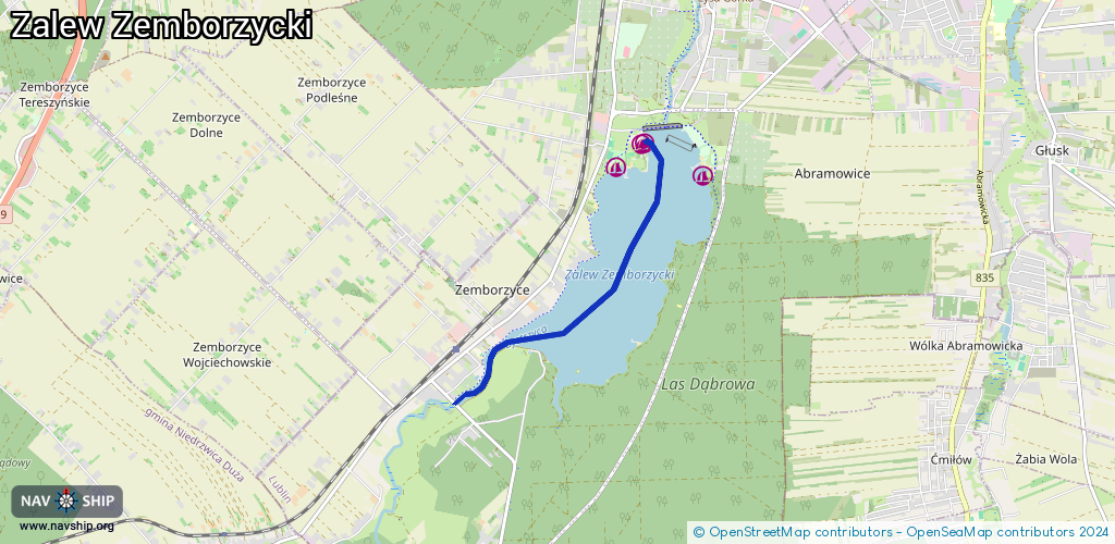
Inland
Driving areas:
🇵🇱 Poland
Length:
4.2 km¹
¹River kilometers or bank length recorded in NavShip, including river arms and harbor entrances.
Availability:
Completely recorded
Recent Update: 10.10.2023²
² This date indicates when an adjustment last took place in the course of the body of water
Recorded:
Locks: 0
Harbours / marinas: 4
Bridges: 0
Berths: 0
Slipways: 2
Fuelstations: 0
Route:
Please wait, loading route graphic...
Request waterway overview map with symbol legend here (Link).
Information about data associated with this body of water (6 available):
Data by OpenSeaMap (c) OSM contributors, www.openseamap.org
| # | Kind | Coordinates | Name | Information |
|---|---|---|---|---|
| 1 | Marina | 51.18854,22.54185 | 2023-11-22T20:04:42Z | przystań wypożyczalni |
| 2 | Marina | 51.19171,22.5321 | 2024-01-20T09:49:14Z | Wypożyczalnia sprzętu wodnego |
| 3 | Marina | 51.1918,22.53248 | 2020-11-26T03:38:55Z | Przystań Marina |
| 4 | Marina | 51.18943,22.52805 | 2023-05-24T23:35:36Z | Przystań żeglarska YCPL |
| 5 | Slipway | 51.1894,22.52783 | small_craft_facility | 2023-05-24T23:35:36Z Slip YCPL |
| 6 | Slipway | 51.19213,22.53227 | small_craft_facility | 2018-10-14T08:57:03Z |